


Train with us
Train with us
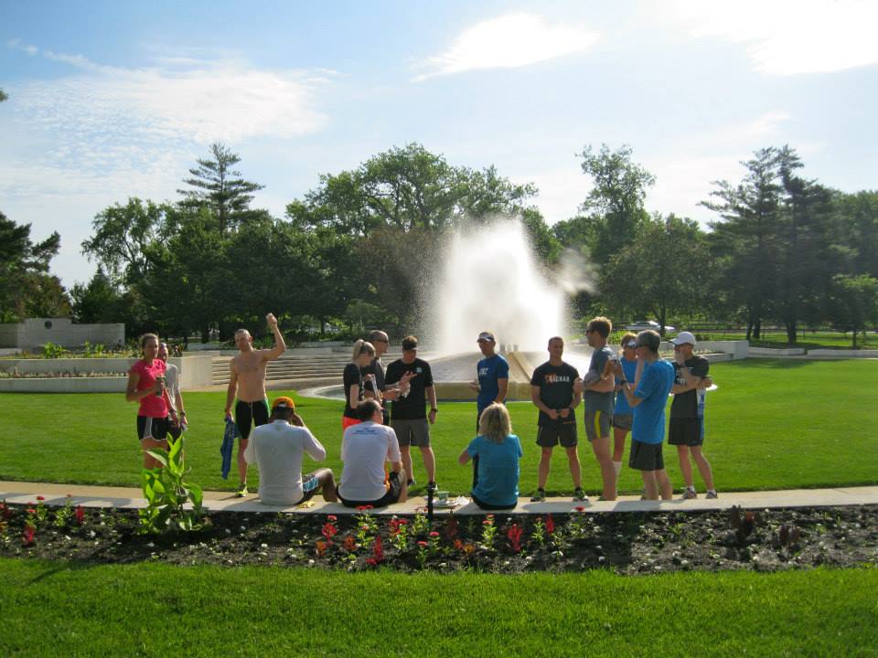
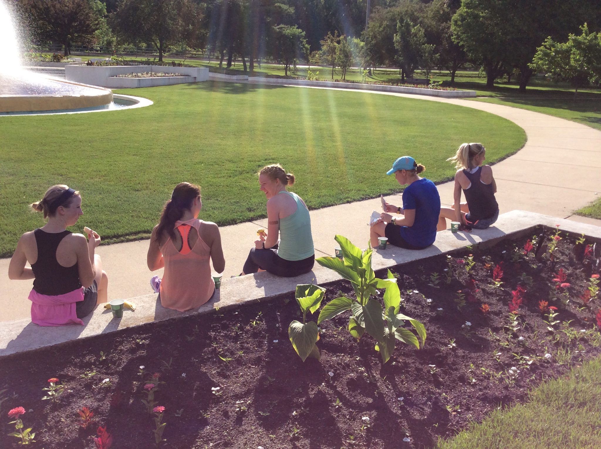
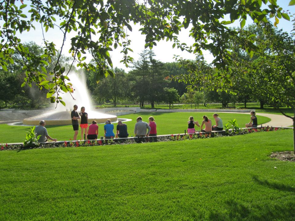
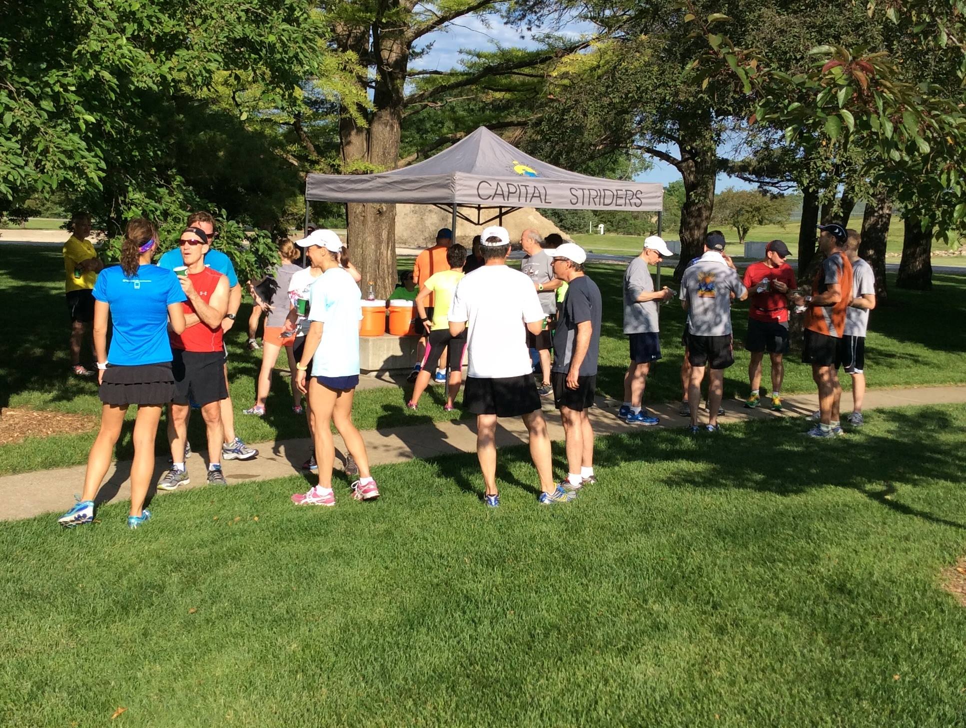


WINTER 2026 TRAINING RUNS
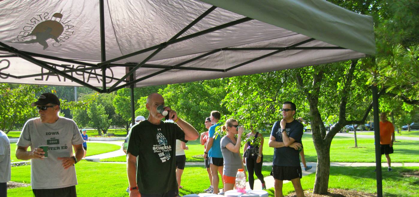
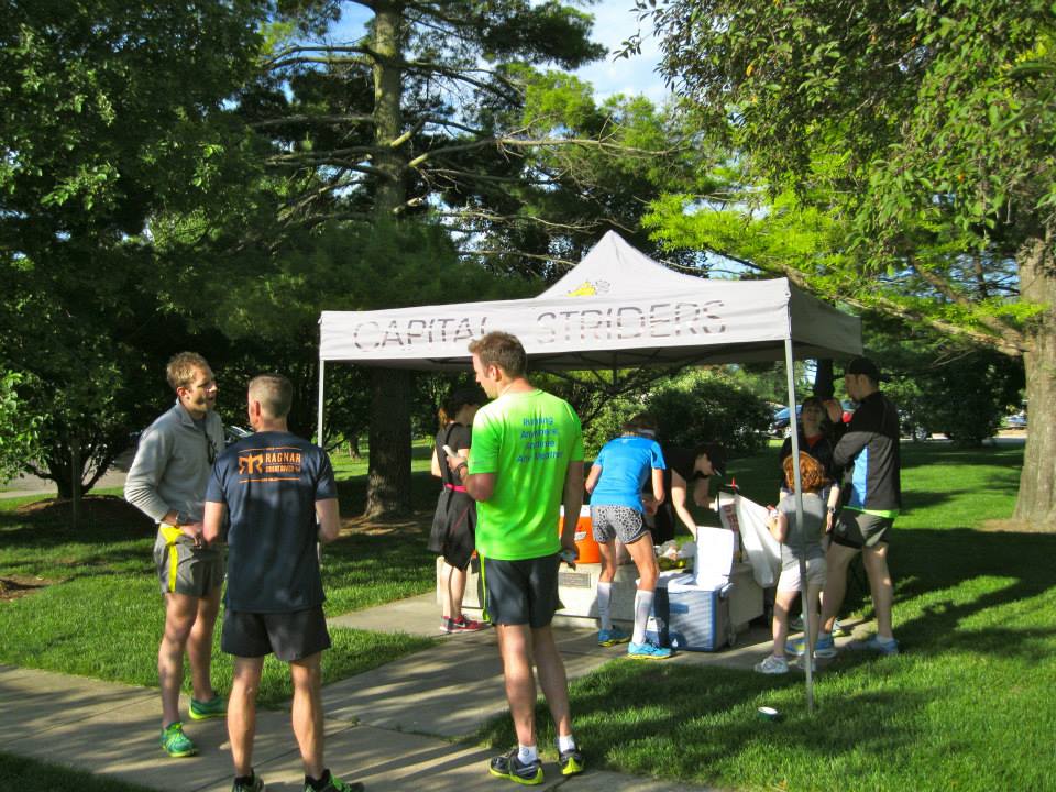
Please join us every Saturday morning starting at 7:30 AM from Mars Cafe in Des Moines, IA.
January 10, 2026 - 3 miles, 5 miles, 8 miles
January 17, 2026 - 4 miles, 6 miles, 10 miles
January 24, 2026 - 4 miles, 7 miles, 11 miles
January 31, 2026 - 5 miles, 8 miles, 12 miles
February 7, 2026 - 5 miles, 8 miles, 12 miles
February 14, 2026 - 6 miles, 9 miles, 13 miles
February 21, 2026 - 4 miles, 7 miles, 10 miles
February 28, 2026 - 6 miles, 10 miles, 14 miles
March 7, 2026 - 7 miles, 11 miles, 15 miles
March 14, 2026 - 8 miles, 12 miles, 16 miles
March 21, 2026 - 8 miles, 13 miles, 16 miles
March 28, 2026 - 7 miles, 14 miles
April 4, 2026 - 7 miles, 10 miles
April 11, 2026 - NO RUN - Loop the Lake!
April 18, 2026 - NO RUN - Drake Road Races
April 26, 2026 - 4 miles, 6 miles, 10 miles
May 2, 2026 - 4 miles, 7 miles, 13 miles
May 9, 2026 - 4 miles, 8 miles, 14 miles
May 16, 2026 - 4 miles, 7 miles, 10 miles
May 23, 2026 - 5 miles, 8 miles
Fall 2025 Training Runs
The CS Turkeys will be hosting training runs every Wednesday starting in October in preparation for To Grandmother’s House We Go!
These runs will start at 6:00 PM at Browns Woods.
Make sure to get signed up for To Grandmother’s House We Go!
2025 SUMMER TRAINING RUNS
ALL training runs will begin at 7:30 AM unless otherwise specified. Start locations will vary by month, see listed locations below.
If you have not signed a new release for 2025 please do so and email it to directors@capitalstriders.org or bring it to the next training run.
All paces, ages, and experiences are welcome to join us to run!
Happy running!
June 7th - 4 miles, 6 miles - Water Works Park (BURRITO RUN! Kick off the summer with a post-run burrito!)
June 14th - 4 miles, 6 miles, 10 miles - Raccoon River Park, 7:00 AM START (With Break The Cycle 5K All Day - more info here)
June 21st - 4 miles, 7 miles, 12 miles - Water Works Park
June 28th - 4 miles, 8 miles, 13 miles - Fitness Sports, Clive
July 5th - 4 miles, 8 miles, 13 miles - Athletico - Ingersoll Location
July 12th - 4 miles, 10 miles, 14 miles - Athletico - Ingersoll Location
July 19th - 4 miles, 7 miles, 11 miles - Fitness Sports, Johnston
July 26th - 4 miles, 10 miles, 14 miles - Kinetic Edge Physical Therapy
August 2nd - 3 miles, 11 miles, 15 miles - Easter Lake
August 9th - 3 miles, 12 miles, 16 miles - Raccoon River Park (Dog Park)
August 16th - 3 miles, 12 miles, 16 miles - Raccoon River Park (Dog Park)
August 23rd - 3 miles, 9 miles, 12 miles - Raccoon River Park (Dog Park)
August 30th - 3 miles, 13 miles, 16 miles - Raccoon River Park (Dog Park)
September 6th - 4 miles, 11 miles, 13 miles - Easter Lake
September 13th - NO RUN, Capital Pursuit Weekend (Sign up here!)
September 20th - 4 miles, 13 miles, 18 miles - Water Works Park Amphitheater
September 27th - 4 miles, 14 miles - Water Works Park Amphitheater
October 4th - 4 miles, 13 miles, 18 miles - Fleet Feet DSM
October 11th - 4 miles, 8 miles, 13 miles (IMT Pacers Team meet & greet) - Fitness Sports, Clive
Track Wednesdays!
Wednesday Morning: Track workout will be at Roosevelt High School starting May 7 2025 at 6:00 AM
Wednesday Evening: Track workout will be at Saydel High School Track every Wednesday at 7:00pm. There will be popsicles!
Keep an eye out on our Facebook page for updates! Location and times may change weekly.
We will go through the end of August!
Workouts can be found HERE!
Summer/Fall Training Group (Roads)
The Capital Striders Summer and Fall Training Group is designed to prepare runners of all skill levels for the fall racing season. Whether you’re training for the IMT Des Moines Marathon or Half Marathon, running shorter distances, maintaining a base or just want to meet fellow runners, this training group is for you. All paces are welcome, encouraged and will be supported along the route.
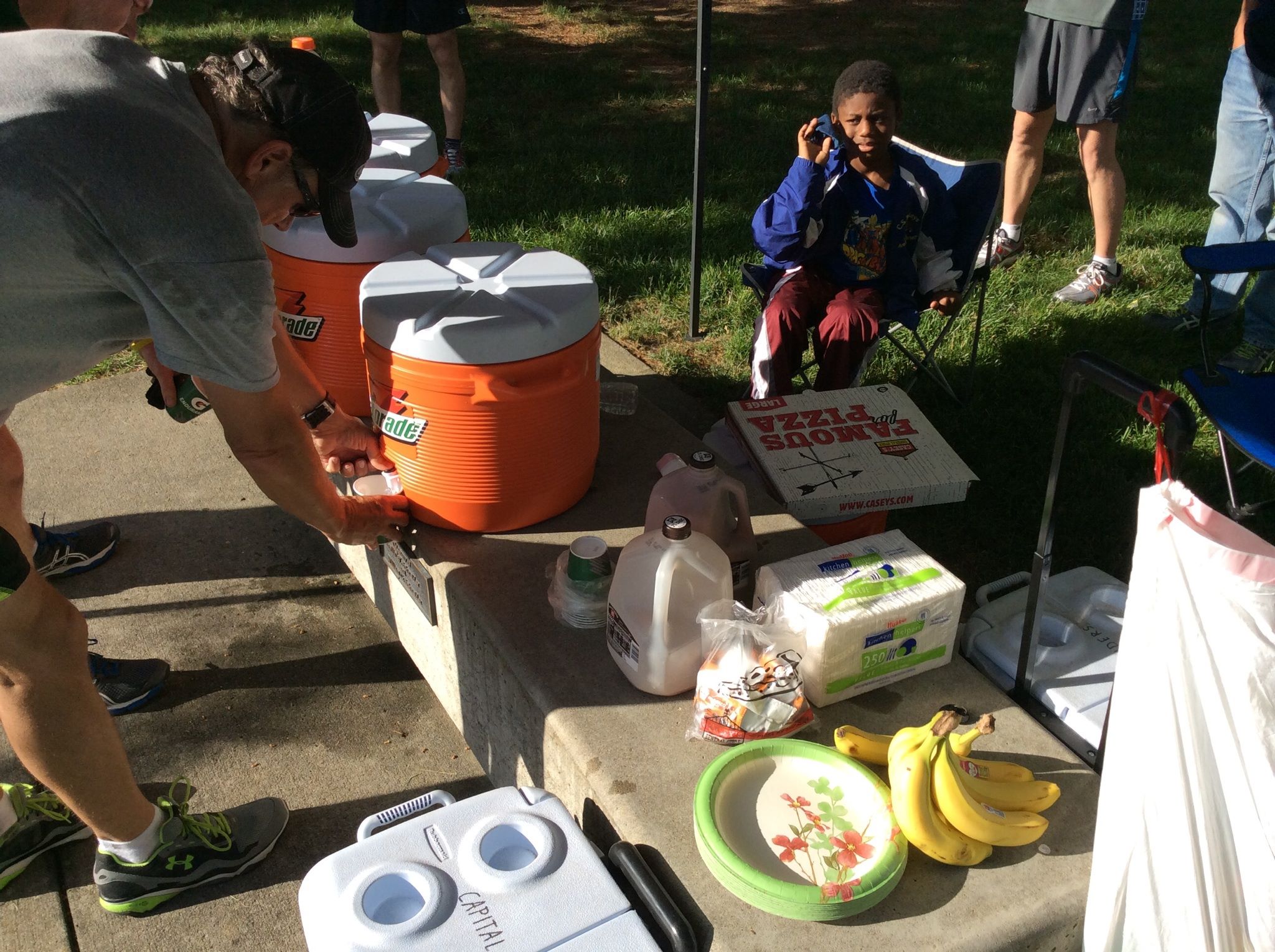
Saturday morning training group runs will follow the training plan outlined below. Capital Striders’ membership is encouraged but not required to participate in the training group. Your membership helps cover the cost of water, Gatorade, and other expenses required to host these activities.
Questions & Info
Interested in helping out, receiving a weekly e-mail announcement about each run, if you have a question about the training sessions?
Contact: training@capitalstriders.org
Year Round (Trails)
Click here --> CS Turkeys to learn more about our trail group. They meet on Tuesdays and Sundays.

Train with a Group
Train with a Group
These runs have been organized by Strider members and are also a great way to get to know other runners in the community. The CS Turkeys (TRail Runners) Uses its Facebook group to coordinate group runs.
If you have any questions about our training runs, please send us an email: training@capitalstriders.org
Monday
Run with the Animals (Beginner Group)
This is a group run that is welcome to both beginning runners as well as returning runners
When: every Monday, 6pm
Where: The gazebo at Campbell Park in Clive

Capital Striders Turkeys
Capital Striders Turkeys
Are You Game? Gobble, Gobble!
CS Turkeys
We are a group of runners who regularly train and compete on dirt trails around Central Iowa and the Midwest. We are a branch of the Capital Striders Running Club, which is a non-profit running club based in Des Moines, Iowa. All runners are welcome and no runner will be left behind. The Turkeys were created to promote trail running and local trails. We strive to increase the number of active trail runners and advocate the use and upkeep of trails in the Des Moines Area. CS Turkeys also support other trail running groups like CITA and help to organize local trail races, like the To Grandmother's House We Go and the Sycamore 8 Trail Race.
When Do We Run
Various times: check the Turkey’s Facebook page. Members will post when and where they are running and other group members can comment if they will join. The only day we will avoid is Sat. morning so our hybrid runners can join the Striders at Waterworks/Gray's Lake.
Where Do We Meet
PLEASE CHECK FACEBOOK for our schedule. We rotate across various trail locations within 10 to 60 minutes of downtown Des Moines. Turn-by-turn directions to trail heads or listed below, in the "Where do we meet" section.
What Do I Need
All trail runs are self-supported meaning you will need to carry your own water (e.g. hand-held water bottle, waist pack, or hydration vest, etc.), lights for evening runs (e.g. headlamp, Knuckle Lights, flashlight, etc.), bug spray during the warm months, and/or a towel for after the run.
Trail Maps - Click the links below to view and print a map (from Garmin Connect or Map My Run) for each trail system:
Banner Lakes at Summerset State Park
Brown’s Woods
Center Trails/Ashworth Pool
Center Trails – Denman’s Woods (Front Loop)
Dale Maffit Reservoir (aka Maffitt Lake) Garmin or Map My Run
Ewing Park PDF
Jester Park Garmin or Map My Run or PDF
Lake Ahquabi Garmin or PDF
Ledges Trails w/Lost Lake Garmin
Raccoon River Dirt Trails
Sycamore Trail
Directions to Where We Meet for Each Trail Run
Please bring these printed directions when coming to each location the first time since GPS devices and phones do NOT provide correct directions. Many of these locations don’t have a USPS physical address. If there is one listed below, it may be a physical address or the closest number site listed.
Ahquabi State Park: Take 65/69 South, turn right onto Co Rd. G58, go to the T (don’t go in the main entrance), take a right on 118th St, go 1-2 blocks, and turn left into the park. Park in the first lot on the left. The trail is near the lake. Address: 16500 118th Ave., Indianola, IA.
Banner Lakes at Summerset State Park: From IA – 5/65, head south, and take the exit for 69 South. The entrance to the park will be 5 minutes from this exit and to your left. Take the first right into the park and park in the first lot near the brick outhouse. Address: 13084 Elk Horn Street, Carlisle, IA. The website lists Indianola but Mapquest will not take you to the correct place.
Brown’s Woods: From 235 or Grand Ave. go south on 63rd Ave and turn right on Brown’s Woods Drive; if you reach Army Post Rd. you’ve gone too far south. After turning right, turn right again and go right on the dead end road (Brown’s Woods Dr.) and park in the new paved lot. When coming from Route 5, SW Connector has been renamed Veterans Parkway. Address: 495 Brown’s Woods Dr, West DSM, IA.
Center Trails/Ashworth Pool: From the intersection of 42nd Ave. and Grand Ave (downtown DSM), go west and turn left on 45th St. Go slow as this area has lots of athletes and families in the road. Drive all the way to the end of the road (just past the pool) and park near the paved trail. Near the paved trail is a map with the off-road trails (Center Trails) and the local paved trails.
Denman’s Woods: From 63rd (between Grand and Railroad Avenues), drive south, and turn left on a little side street called Muskogee Ave (east side of the street only). Muskogee curves left to a road called N. Valley Dr. Go 2 blocks and park on the street just before the water/electrical bldg and bridge. It doesn't look like an actual place to park, but most days there are other cars parked there (180 N. Valley Dr. DSM, IA 50321). From Grand Ave (when driving west from downtown), turn left on 56th St., go about 2 blocks, turn right on N. Valley Dr., go over railroad tracks and the bridge, do a u-turn and park on the side of the street closest to the electrical/water building (just over the bridge).
Ewing Park Trails: Go to the intersection of McKinley and Indianola Ave. (of DSM) and turn west onto McKinley Ave and turn right to park in the little lot near the small playground and non-brick port-o-potty enclosure.
Jester Park –North End: Take IA-141 North towards Grimes. Turn right on NW 121st St. Take that road until it ends at the Jester Park Entrance – do NOT enter here. Turn left on NW 118th St. This road will curve to the right and become NW 128th St. Just before it dead ends, turn right on the gravel road, and follow it to the right, around the bison. Park in the first lot on the right, near the Nature Playscape.
Jester Park – South End: Take IA-141 North towards Grimes. Take exit IA-415 to Polk City. At the first stop sign, take a left onto NW Beaver and then take an immediate right onto NW 100. Go past the cemetery (on your right) and park to one side of the road, near the gate, straight ahead, on the gravel road. Don’t follow the paved road to the Lincoln Boat ramp. Address: 10660 NW 100th St, Johnston, IA 50109.
Ledges State Park: Take IA-141 W/Urbandale-Grimes for 8.6 miles, exit on IA-17 toward Madrid/Boone, go for 17 miles, and turn left on 250th St. to go 3 miles. The park entrance will be straight ahead. Go past the campground parking lot and park in the first one to your left (before going down Canyon Road). Address: 1515 P Ave., Madrid, IA 50156 (near Boone).
Maffit Lake: It is located southwest of Des Moines in Cumming, IA. From DSM, drive west on Army Post Road, cross Interstate 35, and follow the signs. From the north, take 35 south, exit at 35th St., and then turn right on SW 72nd Ave which turns into Dale Maffit Rd. Take the first left into park and park your car just up the gravel road near the Nature Trail sign, but this is not where you enter the trail. Address: 12460 SW Maffit Lake Dr., Cumming, IA 50061.
Margo Frankel Woods State Park: It is located south of Ankeny, southwest of the Easter Camp, and north of 80/35 on 2nd Ave./Polk Ave. It is on the east side of the road. Address: 6171 NW 2nd St., Des Moines, Iowa 50313
Raccoon River Park: Take Grand Ave west to 2500 Grand Ave., West Des Moines, IA. Turn left into the park and left again to park in the parking lot closest to the dog park. From the West, take 35 South to Grand Ave and go east towards West Des Moines.
Sycamore Trail – North End: To park at the north end and coming from 80/35, you can exit at Merle Hay Rd (from the west) or 2nd Ave. (from the east). Exit 80 and turn left (north) on Merle Hay, go about 1.5 miles to 62nd Ave. and turn rt. At NW Beaver Dr. turn left. At NW 66th Ave. (Co Rd R6F) turn right and go about ½ mile and a tiny gravel parking lot will be on the right. There are no signs marking this parking lot and it is very easy to drive past it; if you go over the river, you’ve gone too far. From 2nd Ave. go north and exit to NW 66th Ave or Co Rd R6F towards Saylorville. When the road T’s, turn right and shortly thereafter turn left back onto NW 66th Ave or Co Rd R6F. Just over the river the parking lot will be on your left. There are no signs marking the lot and if you reach the stoplight, you’ve gone too far. Address: 4301 NW 66th Ave. Johnston, IA.
Sycamore Trail – South End: Go to the Iowa Driver License Station of DSM near the intersection of Euclid and MLK Jr. Parkway. Once you enter the parking lot, park on the east side (closest to the river and farthest from the paved trail with bathrooms). As you approach the river, you will see the trail. It appears to go towards the river and along the fence/parking lot and you can start with either trail since they both go to the same place (after a quarter mile or so).
Walnut Woods: From the city, take 63rd South to Brown’s Woods Drive, turn right, follow that road until it curves, take the next right on Walnut Woods Drive. Take the second entrance into the park, on your right, and parking in the first lot to the left. From the west, take 35 South to IA-5 South, from 5 take the exit for S. 35th Street and turn left. Turn left on Arm Post Road and then turn right at SW 105th St. Turn left into the park at the first entrance you come to and park in the first lot on your left.
How Far Does the Group Run
The group completes distances ranging from 3 to 10+ miles and many of the courses have shorter loops to allow for less distance and a gentle introduction to the trail running experience.
What If…
If it rains or snows, and our running will not damage the trail, we will still run. If trail conditions are poor, we will either cancel (for safety reasons) or switch to meeting at Raccoon River Park in West Des Moines (to run on the limestone path), DMACC WDM on Grand Ave. (to run on gavel), or Booneville Cafe (to run on gravel roads). All changes or cancellations will be posted to our Facebook page since the decision will typically be made one hour before scheduled runs.
